Department Surface Waters - Research and Management
HistoRiCH - Learning for the future from historical maps
Freshwater systems are among the most endangered ecosystems worldwide. Diversity loss and ecosystem services degradation are mainly attributable to habitat loss and deterioration, e.g. by fundamental landscape change. In particular, historical landscape change can have a long-lasting influence on ecosystem structure and function. Incorporating historical landscape change in freshwater research and management is pivotal in order to understand present-day patterns and processes and to plan for the future, e.g. for effective restoration and biodiversity conservation.
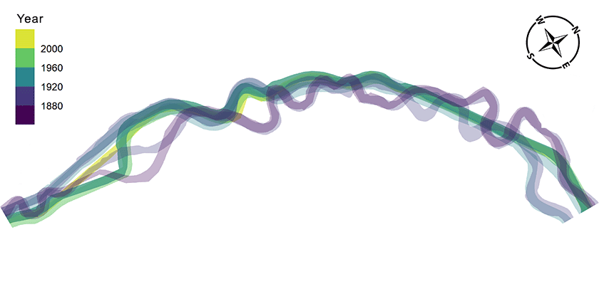
In the framework of the HistoRiCH Project, we rely on Switzerland’s unique record of historical maps to build an extensive knowledge base for studying landscape change over the last 150 years.
The project has three primary objectives, shared among different partners:
- From maps to features (ETHZ): development of robust digital map processing methods for extracting hydrological features from scanned historical maps.
- From features to metrics (ZHAW): derivation of ecological metrics from those extracted hydrological features to characterize ecosystem structure and function.
- From metrics to application (Eawag): multi-scale analysis of the factors driving landscape change (e.g. urbanization, hydrology) in order to interpret the observed changes, assess their impact on present-day river ecology and derive practical recommendations for an informed use of historical maps.


