News Detail
European streamflow data and where to find it
October 16, 2024 |
In hydrological research today, a lot of time is often lost in compiling data from different countries. The national languages and the different means of accessing the data regularly prove to be major barriers. “EStreams is about streamflow data from Europe’s rivers and where to find this data,” explains Thiago Nascimento, PhD student at Eawag. “With EStreams, we have developed a catalogue that contains information for European countries on where to find the streamflow data and how to download it. In doing so, we have addressed a need.”
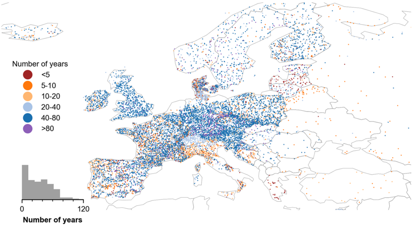
Nascimento and Julia Rudlang, a colleague from Delft University of Technology in the Netherlands, painstakingly searched the Internet and contacted colleagues and authorities across Europe to find out who provides hydrological data. In this way, they collected daily streamflow data from 17,130 European river catchment areas from more than 50 different data providers in a total of 41 countries. The dataset covers a period of up to 120 years. Although this data is available free of charge, it cannot be published directly as part of EStreams for legal reasons. However, Python scripts developed by Nascimento allow the interested user easy access to the data providers in most countries. Where this is not possible, an email address is provided for further help. This saves a lot of time.
Information on the landscape
However, EStreams is not just a catalogue, but also a dataset for the river catchments in Europe. For each of these regions, it contains information on climate, geology, topography, land use and land cover, soil types and vegetation characteristics. This information was derived from various open-source datasets and can be downloaded directly by users for their research. “I expect that our understanding of rivers and hydrology will be improved with such a large dataset,” says Nascimento.
EStreams can particularly be used to set up hydrological models, including next-generation machine learning-based models that have high data requirements. As the dataset covers a long period of time, this makes it possible to estimate the risk of flood events or droughts, for example. In a current project, researchers are already using EStreams to create a comprehensive analysis of historical flooding in Europe. In his doctoral thesis, Nascimento is investigating why certain river catchments react more sensitively to environmental and climate change than others.
“Every river and every catchment is unique,” says the researcher. It is therefore by no means easy to predict what will happen if, for example, the forest in a particular area is cut down. Thanks to EStreams, researchers can use machine learning, for example, to recognise patterns and develop models that make predictions possible. “Having such a large dataset, we can make sure that we are giving the model as much variability as we can, which allows us to interpolate from known patterns, rather than extrapolate into uncertainty,” explains Nascimento.
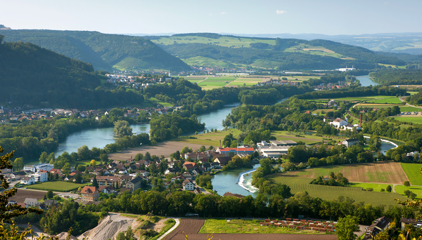
Cover picture: Confluence of the Aare, Reuss and Limmat rivers in the canton of Aargau (Photo: Andreas Gerth/FOEN).
Original publication
Cooperations
- Eawag
- Universität Zürich
- Delft University of Technology, Netherlands
- Széchenyi István University, Hungary


