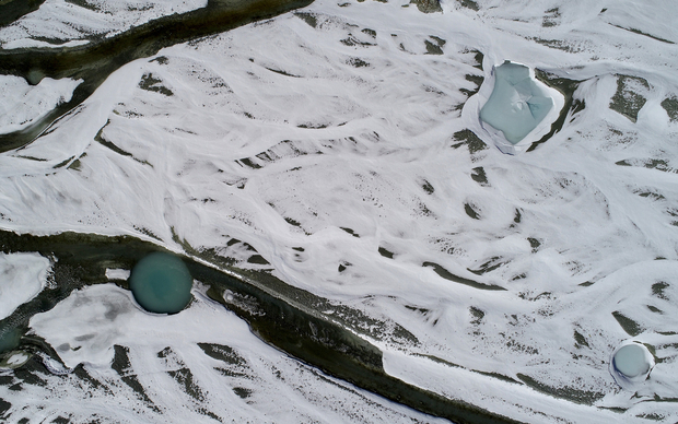
Innovative river management with the aid of drones

Article from the Info Day Magazine 2022
Drones have cut the cost of aerial photography so significantly that this technology is now becoming attractive for monitoring rivers. Provided that the analyses are conducted correctly, these aircraft can be employed to quantify river dynamics and model outflows and habitats. The following examples showcase the potential of the new technology.
Observing glacier changes
Glaciers lie at the beginning of alpine catchment areas. Their development affects all surface waters in a catchment area. Drones and other new technologies make it possible to record local changes, such as glacial erosion, and to study how they affect subsystems downstream, such as watercourses, lakes, groundwater and urban water bodies. This is because a holistic view is needed to improve catchment area management.
Impaired watercourse dynamics
As ecosystems and habitats for specialised organisms, watercourses are shaped, among other things, by runoff and sediment dynamics. Hydropower facilities such as dams can interrupt or significantly alter sediment flow – with negative consequences for downstream river ecosystems. With the help of drones, the extent and changes in sediment dynamics in a catchment area can be recorded and studied.
(Photos: AlpWISE, UNIL)
Created by Manuela di Giulio for the Info Day Magazine 2022


