Department Surface Waters - Research and Management
Digital lake indicators for the Alpine Region

New technologies have a great potential for improving environmental monitoring. For example, the satellite-based European environmental monitoring programme Copernicus has been operational since 2015. Computer-aided model simulations are available for more and more lakes, providing insights into biological and physical processes. And eDNA analyses provide information about biodiversity in entire habitats. The DiMark project aims to utilise such technologies for long-term environmental monitoring.
In particular, DiMark will expand on the functionalities, content and regional coverage of the lake information portal alplakes.eawag.ch. On the one hand, satellite data is used to develop specific indicators for the largest lakes in the Alpine region. On the other hand, simple basic data such as surface temperature and turbidity are calculated for several hundred small lakes for which no regular data has been collected to date. Building on this, we are developing models to provide information on cyanobacterial blooms and other environmental risks.
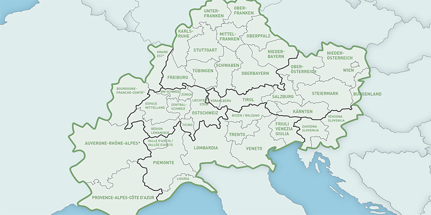
The introduction of such methods in long-term environmental monitoring is an administrative and technical challenge that requires close co-operation between scientists and authorities. DiMark ensures this co-operation and coordinates the definition of common procedures in the Alpine region.
Collaboration
- Tina Elersek, Slovenian National Institute of Biology
- Orlane Anneville, French National Research Institute for Agriculture, Food and Environment
- Mariano Bresciani, Italian National Research Council
- Rainer Kurmayer, University of Innsbruck
- Nico Salmaso, Edmund Mach Foundation
- Dietmar Straile, University of Konstanz
- Austrian Agency for Health and Food Safety
- Slovenian Environment Agency
- Regional Agency for Environmental Protection and Prevention of Veneto
- Institute for comprehensive development solutions
Funding
- Interreg Alpine Space
- Bundesamt für Umwelt
- Bundesamt für Raumentwicklung
- Kantone AI, LU, NW, SZ, TG, UR, VS, ZG, ZH


